
El Cerrito ZIP Code Snapshot
Research found one principal El Cerrito ZIP that can be stated with confidence. It is better to show that narrow result than to turn nearby mailing labels into city ZIPs. USPS assigns delivery geography, while the city and county establish jurisdiction through address and parcel records.
| ZIP | Areas covered | Post office | Notes |
|---|---|---|---|
| 94530 | El Cerrito and USPS-served adjoining address assignments | El Cerrito Post Office, verify station details in USPS | Principal city ZIP; delivery boundary may not equal city line |
No official city or county source verified an additional unique or PO-box-only El Cerrito ZIP or a dated ZIP realignment. The table therefore stays to 94530. A geography guide is more trustworthy when the research gap is named rather than filled with a guess.
Why 94530 Leads El Cerrito Searches
94530 is the principal USPS ZIP for El Cerrito, but “principal” does not mean every nearby address using an El Cerrito mailing phrase lies within the incorporated city. USPS city names can serve delivery routes that do not follow municipal boundaries. A postal guide should therefore label 94530 as a delivery geography and then test the parcel’s jurisdiction separately.
The distinction matters for records. City permits, code cases, business licenses, and council files follow El Cerrito’s jurisdiction. County assessor, deed, tax, and court records follow their own custodial rules. A mailing label can point to the right neighborhood while still sending a researcher to the wrong city archive or department.
ZIP Boundaries Near El Cerrito
Unincorporated Kensington adjoins El Cerrito and commonly uses 94707 or 94708. Richmond borders can use 94804 or 94805. Albany and Berkeley border areas use Alameda County ZIPs. Those numbers are useful warning flags, not extra El Cerrito ZIPs. Check the complete standardized address before assigning the location.
El Cerrito’s western Contra Costa setting creates repeated city, county, school-district, and mailing-city confusion. The same street corridor can require more than one place-name search in an old newspaper or directory. Search the exact address, then search the historical label that appears in the source. Do not replace the source’s original label with a modern ZIP.
The border problem is geographic rather than merely clerical. A ZIP can cross a city edge, while a parcel polygon, city boundary, or maintained-road layer may tell a different story.
The city itself is compact, about 3.67 square miles. Census QuickFacts reports 25,962 people in the 2020 Census, compared with 23,549 in 2010, and a 2025 estimate of 26,121. Those are city-level context figures, not a count for 94530 or any neighboring delivery area. A ZIP listing should never turn a city statistic into a ZIP population claim.
Verify El Cerrito Mailing Geography
The USPS ZIP Code Lookup is the right first check for deliverability, preferred city name, and ZIP assignment. Enter the exact street address and preserve the returned format. USPS answers a mailing question. It does not certify that a parcel lies inside El Cerrito or that a person lives there.
The USPS result is especially helpful when an address is near Kensington, Richmond, Albany, or Berkeley. Save the date of the check because delivery assignments and forms can change. If an old record uses a different city label, record that label as historical evidence rather than silently correcting it.
The USPS form shows the postal side of an El Cerrito postal search.
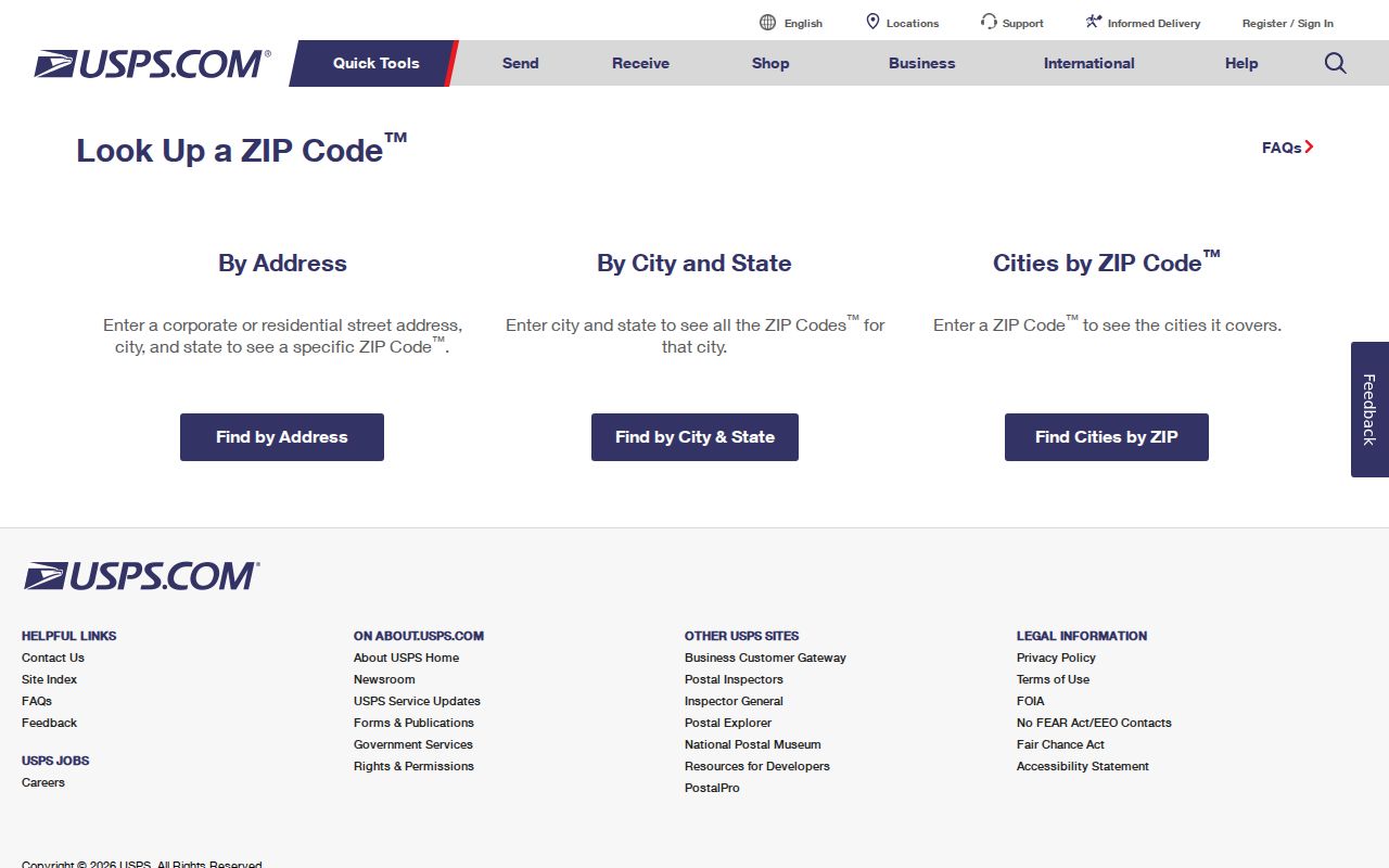
Use its answer for the mailing field, then move to CCMAP for the parcel and jurisdiction fields.
Verify El Cerrito Legal Jurisdiction
After USPS supplies the ZIP, search the address in the Contra Costa CCMAP viewer. Select the parcel, note the APN and municipal jurisdiction, and keep the situs address separate from the tax mailing address. A parcel map is the defensible geographic bridge to the assessor, tax account, permits, recorded maps, and deed chain.
CCMAP can show parcel geometry, adjoining parcels, lot or building information, aerials, contours, and configured layers. It does not publish owner names online because of statutory redaction concerns. When a street or ZIP question becomes an owner question, use the Assessor’s public information service or counter route instead of assuming that the map is a resident directory.
The Contra Costa maps and records service adds recorded maps, surveys, corner records, and archived parcel books. Those materials are useful when a border address, subdivision, or older legal description does not fit a modern street search.
The State and federal archive catalogs can preserve historical maps and public records that illuminate a place without listing current residents.
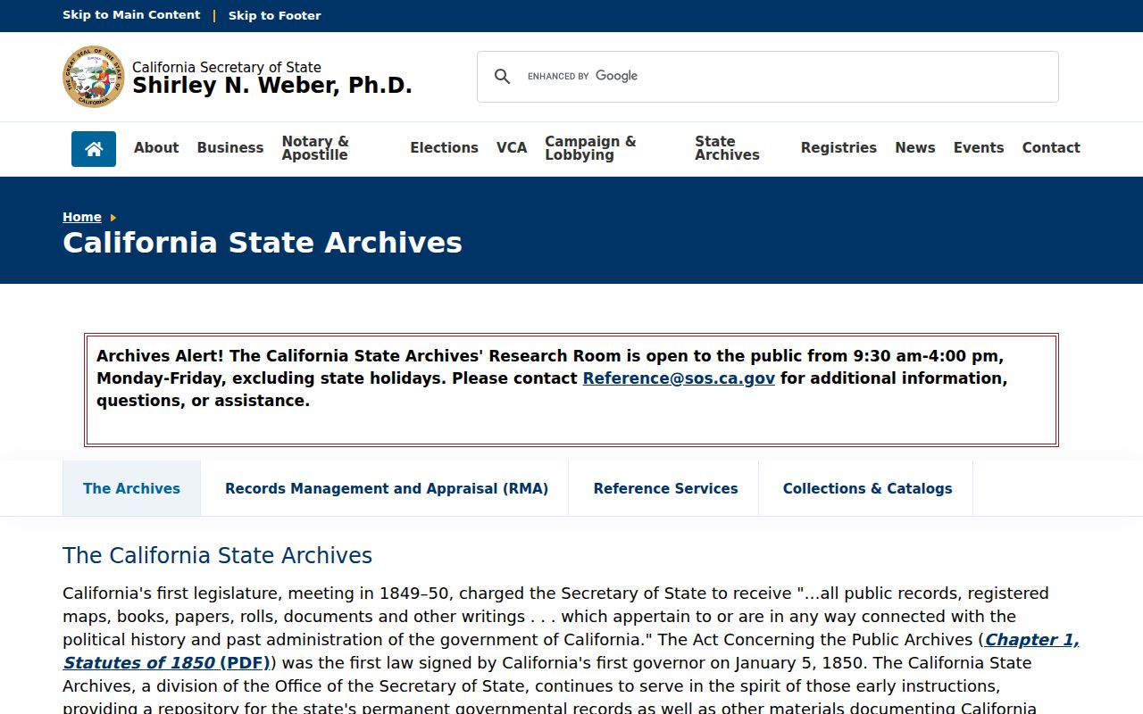
The California State Archives record path supplies context and finding aids. For a current boundary, the address and parcel custodian remain the controlling sources.
Finding El Cerrito Residents Inside 94530
A ZIP is an organizing filter, not an official people roll. Neither the inspected VoteCal self-lookup nor RecorderWorks offers a simple ZIP-wide resident mode. Use the ZIP to narrow the geography, then choose a record keyed to the actual question. A name search may lead to a court or deed index. An address search leads to CCMAP, APN, permits, and the street chain.
- Verify the exact address and ZIP with USPS, keeping the preferred mailing city in a separate note.
- Use CCMAP to test the parcel and jurisdiction, then record APN and nearby street context.
- Use the assessor, tax account, deed index, or permit system according to the record type, not merely the ZIP.
- For historical residents, search the city directory, newspaper title, census schedule, or map that covered that year.
- Confirm an important name or address with the custodian and preserve the source date and record role.
The El Cerrito street directory takes over once the ZIP check has narrowed the question to a street or parcel. It uses address-keyed records instead of pretending that ZIP is a person key.
El Cerrito ZIP Search Fields
The most honest search-field table for ZIP research describes the two tools that actually support the geography. USPS validates the delivery address. CCMAP validates the parcel and jurisdiction. Their fields cannot be merged into a single resident lookup.
| USPS input | Complete street address and city/state details for ZIP verification |
|---|---|
| USPS result | Preferred mailing city, state, ZIP, and address-format clues |
| CCMAP input | Address, road or place, or APN |
| CCMAP result | Parcel polygon, APN, situs, jurisdiction, map layers, and configured parcel attributes |
| Next record key | APN for tax, assessment, maps, and deed research; address for permits |
The handoff should stay visible. It keeps a postal answer from being mistaken for a legal-boundary answer or a residence answer.
El Cerrito Address Terms by ZIP
Several address terms sound alike but point to different systems. Use them precisely when a ZIP research note moves into property or historical records.
- ZIP code
- A USPS delivery area used to route mail; it is not a municipal boundary.
- ZIP+4
- An extended postal code that narrows delivery routing beyond the five-digit ZIP.
- PO-box ZIP
- A ZIP associated with a post-office box route; no such additional El Cerrito ZIP was verified here.
- Carrier route
- A postal delivery path within a ZIP, not a parcel or neighborhood boundary.
- APN
- A county assessor parcel key used for land and tax research, not a postal identifier.
Situs is the physical parcel location. Mailing is where notices or correspondence go. A legal description is the land wording in a deed or map. Keeping these terms apart prevents a ZIP search from carrying the wrong fact into a deed chain.
Archives Behind El Cerrito ZIP Clues
Historical maps, state catalogs, and federal regional records can help explain a place-name or boundary question, but they are not current ZIP directories. The National Archives at San Francisco is a regional federal entry point. California State Archives catalogs state and selected local-government records. Search the catalog first and verify the agency, series, and date before assigning a historical record to an address.
For El Cerrito, the July 1926 Sanborn atlas and the Historical Society’s block map are often more useful for street context than a modern ZIP. A census, city directory, or newspaper can then supply a dated household clue. A historical label such as Stege or Richmond should remain visible in the notes.
The regional federal archive illustrates the difference between historical place evidence and a current mailing assignment.
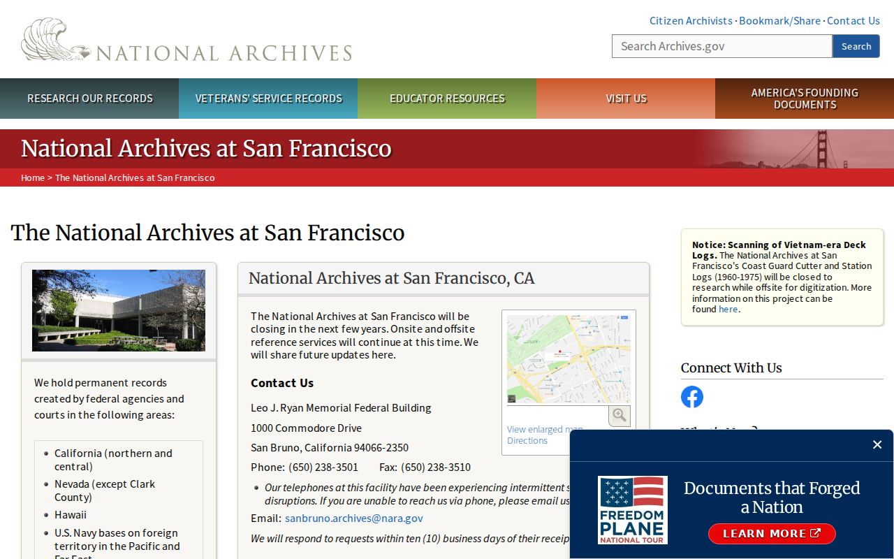
Use archives to bridge time and geography, then return to USPS and CCMAP for the present address check.
No Extra El Cerrito ZIP Claims
No authoritative city or county source in the research verified a dated ZIP split, a unique ZIP, or a PO-box-only ZIP for El Cerrito. Nearby numbers are documented as neighboring delivery geographies, not as city ZIPs. If a future USPS result or official county source changes the picture, update the table from that source and preserve the retrieval date.
The Census QuickFacts entry for El Cerrito is useful for current city context, but it does not identify residents by ZIP. Population, density, household, and boundary statistics should stay in that context lane. They cannot replace USPS address verification or CCMAP parcel selection.
Until then, 94530 is the responsible center of the El Cerrito ZIP reference. Use it to organize a question, then let the exact address, APN, record custodian, and historical source do the proving.