
Map El Cerrito Streets Parcel by Parcel
The address angle starts with geography. Search the location in the Contra Costa CCMAP viewer, select the correct parcel, and write down the APN, jurisdiction, and street spelling. Then carry that APN into the assessor, tax, map, and deed systems. The result is a chain of evidence for a street directory, not a single resident list.
Ownership and occupancy must stay separate. A parcel can have a mailing address that differs from its situs, and a permit applicant can be an owner, agent, or contractor. A voter record, when accessed through a lawful qualified route, has a different purpose. Historical directories and reverse directories may name a listed occupant for one publication year, but their gaps matter.
- Run the complete address in CCMAP, select the matching shape, and note APN, jurisdiction, orientation, and nearby parcel numbers.
- Use the APN with Assessor or Tax Collector resources, recording the assessment year and keeping situs and tax mailing address in separate fields.
- Use the current owner evidence to bridge into RecorderWorks, searching the party name, date range, and deed or instrument type.
- Check permits, inspections, and code material by address through eTRAKiT, the Building Division, or a focused city request.
- For an older household, compare the address with newspapers, census schedules, city directories, maps, and any verified reverse-directory run.
El Cerrito APNs by Address
Contra Costa writes an APN as ten digits in the form 123-456-789-0. That number can survive a change in a street label better than a name search, although parcel splits and mergers can create new numbers. Record the old and new references when an archived parcel book or map points backward. The APN is an administrative key, not a household count.
The Assessor provides public ownership and assessment assistance, while CCMAP offers parcel geometry, lot and building information, aerials, contours, and configured layer links. The county explains that owner names are not published through CCMAP because continually honoring statutory redactions would be costly. When the question truly requires the owner of record, plan for an Assessor counter inquiry at 2530 Arnold Drive, Suite 100, Martinez, or call 925-313-7400.
- APN
- The assessor’s parcel identifier used to join map, tax, assessment, and land-record research.
- Situs address
- The physical location assigned to the parcel, not necessarily the owner’s mailing address.
- Plat or parcel map
- A recorded drawing that shows lots, boundaries, streets, and reference measurements.
- Criss-cross directory
- A reverse section organized by street address or subscriber rather than only by surname.
El Cerrito GIS Layers and Parcels
CCMAP is useful for walking a street visually. Search an address or road, zoom until parcel polygons are distinct, select the target, and then select each touching or nearby shape. The layer list can add jurisdiction, district, zoning, maintained roads, and other configured context. Public Works documents an address or road search followed by Layer List, Public Works, and Maintained Roads; green indicates a county-maintained road.
Map adjacency is better than ZIP matching for a block or named street because a delivery area can cross a city line. Still, a nearby polygon does not reveal an occupant. Use each APN as a lead into the custodian’s own record system. The map may show a parcel, the tax system a balance, and the recorder a transaction, but none should be stretched beyond its field.
The Historical Society’s 1926 block-by-block map adds a rare historical street view with nearly all parcel owners shown in its compiled pages. Treat it as a finding aid. Confirm a name, boundary, and legal description against a recorder, map, or archive record before using it in a past-resident trail.
The historical block map illustrates why a street directory can need both modern GIS and older map context.
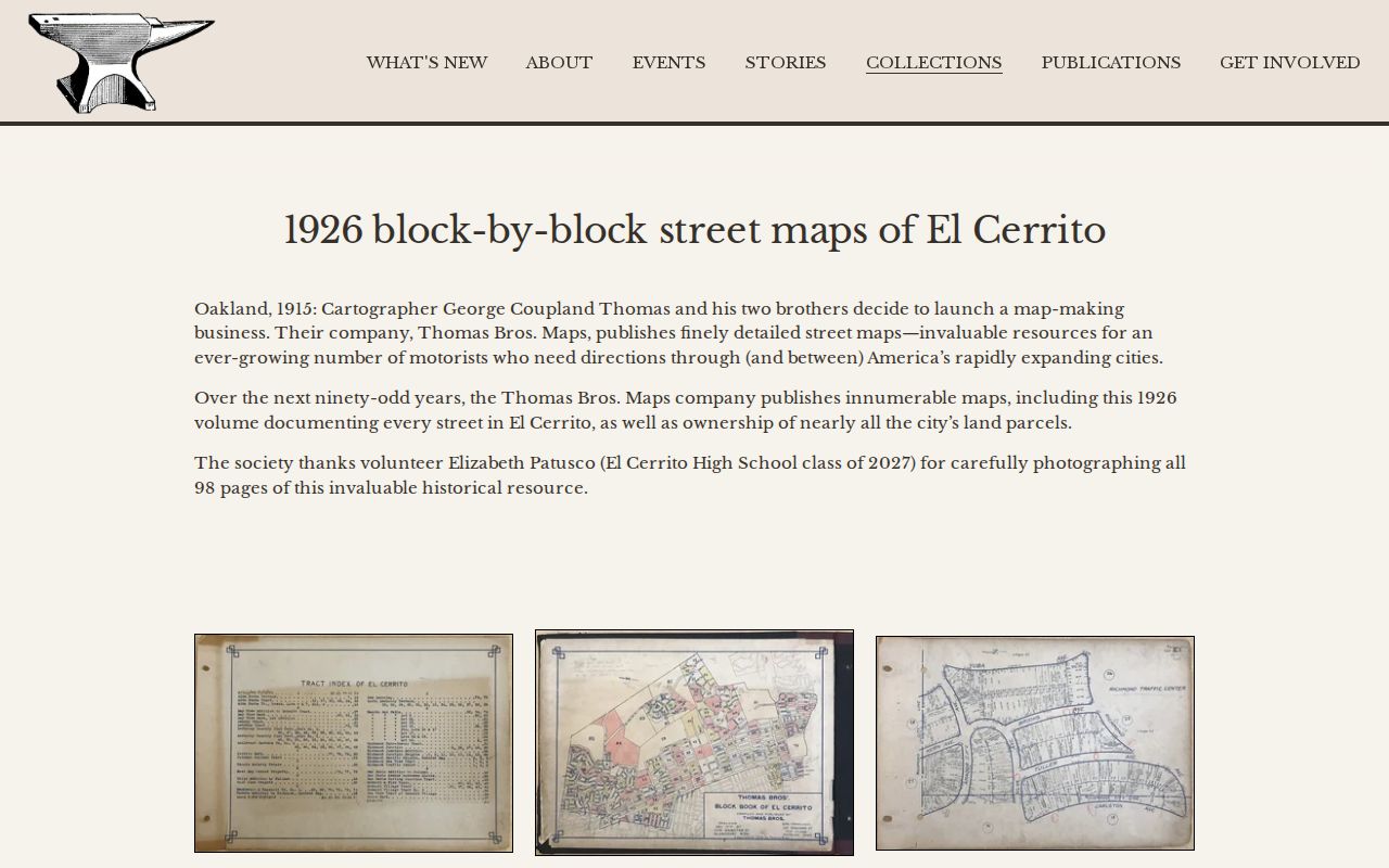
It supplies street and parcel context, not a current list of people. The map’s value is highest when it helps reconcile an older address with a modern APN.
El Cerrito Records Along a Street
Several address-connected sources can be placed in one research ledger. Their access channels differ, so a failed portal does not end the search. The county map is online, the assessment roll may require office help, deeds are reached through party and APN bridges, permits have an online counter and city fallback, and voter data is governed by a qualified-request process.
| Record set | Keeper | Address output | Access |
|---|---|---|---|
| Parcel map | Contra Costa GIS | APN, geometry, adjoining parcels, jurisdiction layers | Free CCMAP browse |
| Assessment assistance | Contra Costa Assessor | Owner-of-record and assessment context | Office or public information service |
| Tax account | Treasurer-Tax Collector | Account, installments, balance, payment status | APN lookup; payment fees separate |
| Deeds and liens | Clerk-Recorder | Party roles, instrument, date, legal description | RecorderWorks, Old Book, counter |
| Permits and inspections | El Cerrito Building Division | Work, dates, applicant, contractor, address | eTRAKiT, email, counter, or archive |
| Voter data | California or Contra Costa Elections | Residence and precinct under permitted use | Self-lookup or qualified request |
Use the APN as the main join key, then preserve each source’s wording. A street directory becomes more credible when the ledger says exactly what was seen and what was not.
El Cerrito Assessor Search Fields
The public-facing county workflow is primarily address, APN, and map based rather than an unrestricted owner-name directory. In practice, search the address or road in CCMAP first, select the parcel, and carry the APN into the assessor or tax resources. The county also maintains more than 12,000 assessment maps and can provide public information at the office.
| CCMAP search box | Street address, road or place, or APN |
|---|---|
| Parcel selection | Map polygon, identified parcel attributes, and configured links |
| Map layers | Basemap, legend, jurisdiction, zoning, maintained roads, and other available layers |
| Parcel clues | APN, situs, geometry, lot or building size, assessed values and tax year where public |
| Office fallback | Assessor public information and counter assistance at 2530 Arnold Drive, Suite 100 |
A radius search and parcel map can be available without charge, while published county counter prices include an assessor map page at $3, a property-information printout at $1 per page, characteristics at $7.50 per parcel, and a radius search at $50. Verify the current fee before ordering. These are access charges, not proof that a named person lives at the address.
RecorderWorks Behind the El Cerrito Street Directory
RecorderWorks does not start with a street address. It starts with a party, document, date, map, legal description, book and page, or APN in its supported deed range. Use the assessor evidence to identify a current owner, then search that party as a grantee for the acquisition instrument. Read the grantor, grantee, recording date, document number, and legal description before moving to the prior owner.
The modern name index covers January 1, 1986 forward. Deed APN search reaches March 3, 1997 forward. For earlier material, Old Book mode uses an index book, fiche cell, and document sequence, with the Clerk-Recorder counter and History Center as fallbacks. Earlier categories include deeds, mortgages, homesteads, land claims, patents, water rights, powers of attorney, tax sales, distributions, military discharges, and unusual local registers.
Do not treat a later mailing address as a street-residence assertion. It may be a notice address, a business address, or a place unrelated to the parcel’s occupants. The deed chain is strongest when APN ancestry and legal description agree.
El Cerrito Map Books and Surveys
Contra Costa Public Works keeps recorded maps, surveys, corner records, annotated parcel books, and archived parcel books in a Laserfiche workflow. When a street search encounters a changed parcel number, start with the APN’s book and page, consult the annotated parcel book, and retrieve the referenced LSM or corner-record map. The counter is at 255 Glacier Drive in Martinez, with published hours Monday through Thursday, 7 a.m. to 5 p.m., and Friday closed.
A map can explain a boundary, subdivision, or old street relationship without naming the household. It is particularly useful beside RecorderWorks because a deed’s legal description may refer to a tract or map that a modern address search cannot find. Keep the map title, book/page, and retrieval date in the notes.
The county’s recorded-map service shows the second half of the address-to-parcel chain.
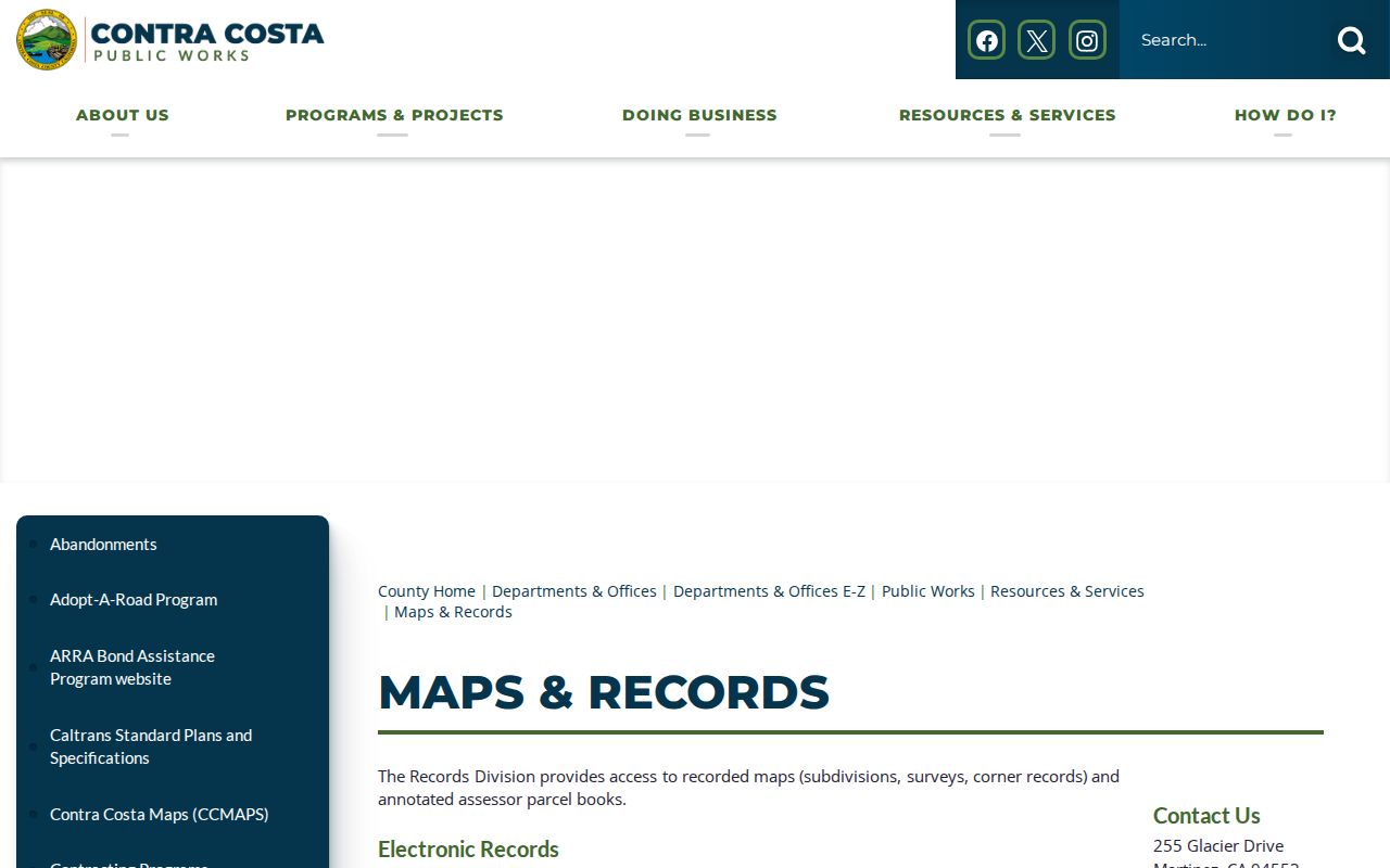
Use that map record to test the parcel’s history, not to infer the names of current occupants.
El Cerrito Tax Accounts by APN
The Treasurer-Tax Collector lookup accepts the APN or account identifier and distinguishes the secured bill, installments, balance, penalties, and payment status. The portal is useful for confirming that the parcel key has been carried correctly from CCMAP. It is not a street directory and it does not turn a tax mailing address into a resident claim.
The current 2026 portal reports a 2.50 percent card or PayPal service fee with a $3.50 minimum, no service fee for e-check, and a possible returned e-check charge of up to $85. Those charges concern payment processing. A free lookup can still be enough for a research note when no payment is needed.
The tax lookup interface illustrates the account-based part of an El Cerrito street directory search.
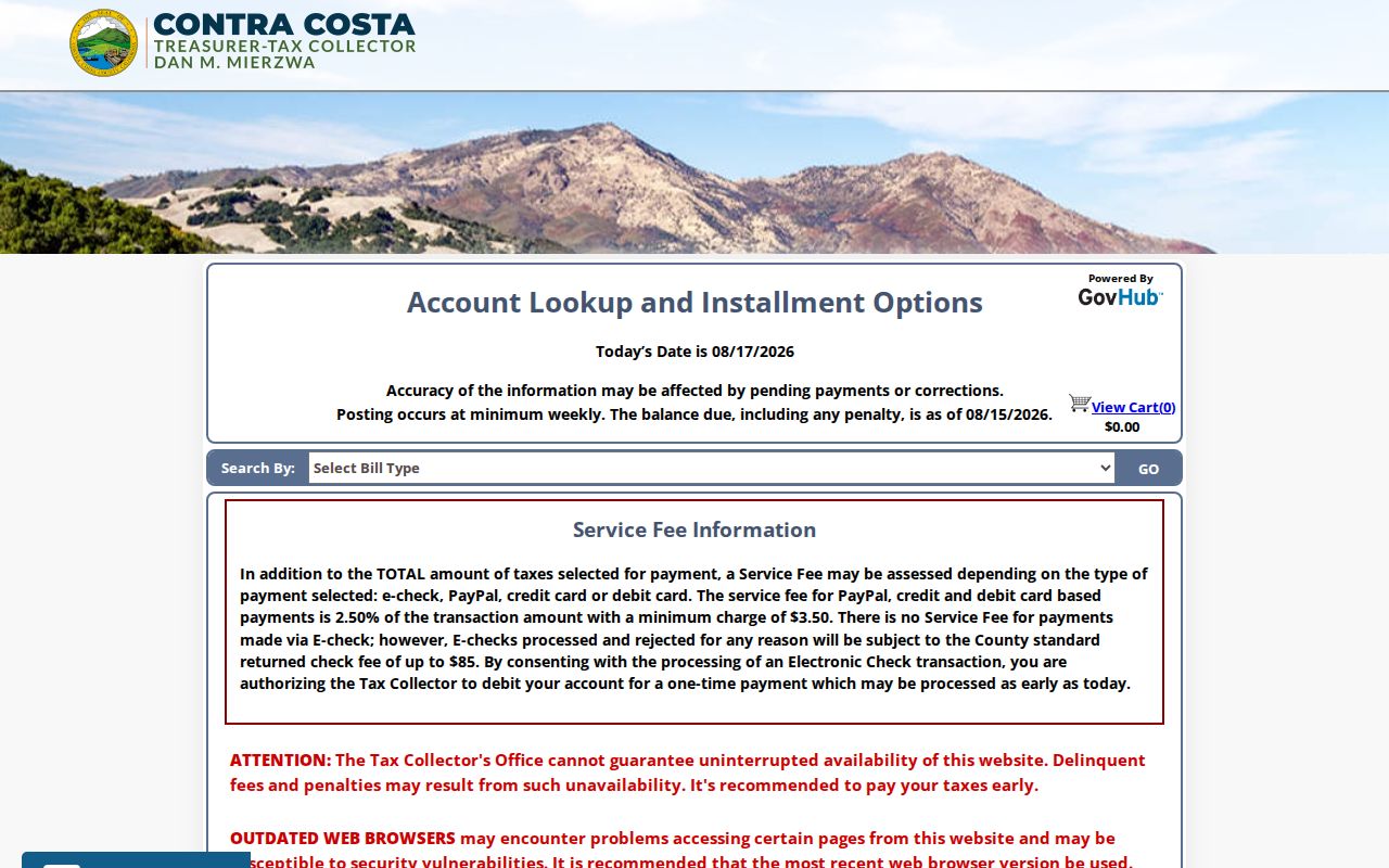
Compare the returned APN and situs with the map before using the account as a bridge to a deed or parcel file.
El Cerrito Permit History by Address
El Cerrito’s eTRAKiT route covers basic public search and application, payment, inspections, licenses, violations, planning, zoning, contractors, and property modules. The city’s verified online property record run begins in 2006. Search Value accepts a complete or partial address; after selecting the correct result, the parcel number and address appear. Registration is needed for submissions, payments, and documents, while basic search is public.
Older property files can be requested through City Archives. Permit applications can also be emailed to buildingapplications@elcerrito.gov, and the Building Division can be reached at 510-215-4360. A permit applicant may be an owner, agent, or contractor, so permit history dates a physical change rather than proving residence.
The public permit counter is the current city route for address-keyed work records.
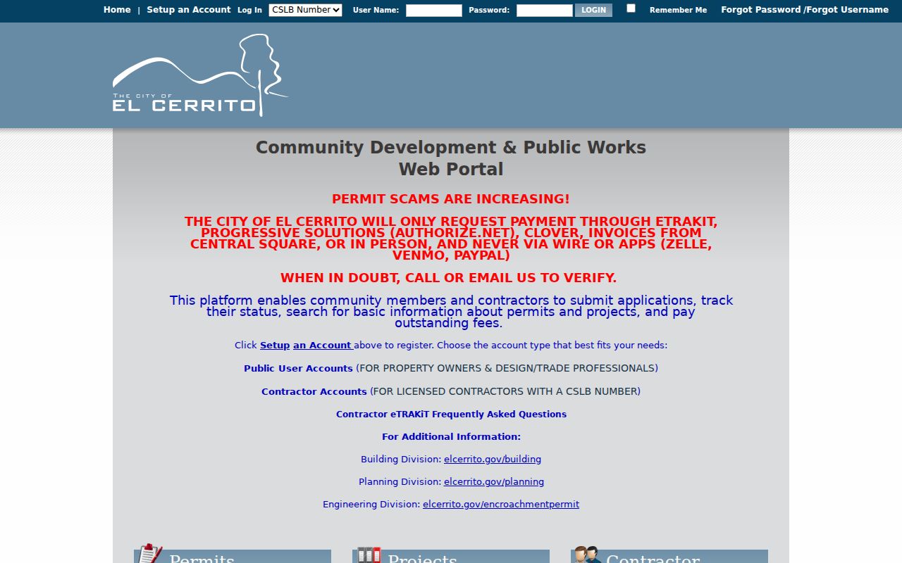
Before paying, follow the city’s warning: permit payments use only the named official processors or an in-person route, never wire transfer, Zelle, Venmo, or PayPal.
El Cerrito Reverse Directory Gap
A reverse or criss-cross directory can answer an older address-to-subscriber question, but exact local holdings and years were not verified. Ask the El Cerrito Library, Contra Costa Library catalog, or History Center whether a volume covers the street and year in question. Do not describe an unconfirmed run as a current public list.
When a verified volume exists, copy the address entry exactly, note whether it is a subscriber, householder, or resident marker, and check the publisher’s abbreviation key. Pair it with a city directory, census schedule, newspaper, or deed. A missing name can reflect a publication gap, spelling choice, unlisted household, or border label rather than a move.
El Cerrito Voter File Boundary
California voter data cannot be used as a casual street browser. My Voter Status authenticates the person entering protected identifiers. A qualified file request requires an approved purpose, documentation, identification, and certification, and it excludes driver license numbers, state IDs, last four SSN digits, unique identifiers, and signatures. Elections Code sections 2188, 2194, and 18109 govern the boundary.
The practical street-directory alternative is to use public parcel and deed sources for ownership, then use historical directories or a properly documented request for a lawful research question. Do not infer a whole household from one voter result, and do not republish a protected address.
What El Cerrito Street Records Miss
Public property records do not reliably index renters, household members, guests, utility customers, delivery recipients, or every person who uses a building. A parcel owner may live elsewhere, and a multiunit parcel may hold many homes under one APN. DMV data is closed under the federal Driver’s Privacy Protection Act and California rules. Protected residents may use Safe at Home substitute addresses.
For a full named-street chain, keep the scope to parcel, instrument, permit, map, and verified historical entries. When the goal shifts to one person, the El Cerrito resident lookup workflow adds same-name controls. When it shifts to who lived at an address before, the previous-residents page pairs deeds with historical sources.
Lawful use. El Cerrito street records are for personal, lawful research such as property history, genealogy, and civic curiosity. Access never permits stalking, harassment, intimidation, unwanted contact, or harm.
A careful El Cerrito street directory records both the evidence and the boundary around it. That is what keeps an address search useful without turning a parcel record into an unsupported claim about a household.